Water Quality Data Management Program - Interview with Brandon Friedland
Why was this project important for the Reservoir Center to implement?
The Chesapeake Bay Watershed has faced a long history of water quality challenges. Dedicated organizations fight tirelessly towards solutions by conserving natural areas, raising awareness, and championing technological improvements. High-quality data is crucial for making informed decisions for the river and communities that depend upon it. The WQDM Program’s goal is to help drive this effort forward by providing real-time monitoring data to the public.
What can people expect from this project?
The program will provide an open-source, real-time water quality data monitoring program to help increase frequency and ease of data collection and review. There are current efforts by Riverkeepers and other Conservationists to collect water quality data, but these efforts are decentralized, primarily volunteer-based, and lack consistent support.
What areas will be monitored?
The Reservoir Center and Partners are providing equipment and support for 10 monitoring locations along three of the major waterways within the Chesapeake Bay Watershed (Anacostia River, Potomac River and Shenandoah River). Up to eight water quality variables will be monitored at each station. The locations of the stations have been strategically chosen by the Riverkeepers to provide relevant data while also ensuring a safe and convenient means of access to the equipment.
What organizations have helped make this project possible?
Aside from the Reservoir Center, Anacostia Watershed Society, Anacostia Riverkeeper and the Potomac Riverkeeper Network this project could not be possible without the expertise of USGS United States Geological Survey, Army Corps of Engineers, Department of Energy and Environment, Metropolitan Washington Council of Governments.
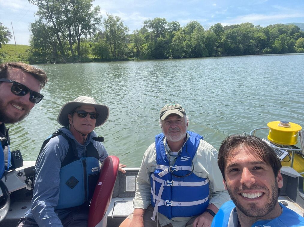
What’s the project’s status and what’s next?
The first two buoys were deployed in the North and South Forks of the Shenandoah River in May and deployment on the Potomac and Anacostia is expected later in 2024. Once all systems are deployed an informative display will be set up in Navy Yard to explain the program. A public facing website will also be created so communities can see the data for their waterway in real time and allow partner organizations to track trends and changes in water quality.
It is expected that this project will have far reaching impact for local communities. First, the data will support science-based decision-making and improvements, including the goal of achieving swimmable and fishable rivers. This program may also provide a means of tracking, modeling trends, and improving prediction capabilities to monitor the health of the broader watershed.
This project will improve the DC community’s relationship with its rivers by building awareness through education and access. The data will help communicate and overcome racial disparities by highlighting the historical impacts on local waterways. Our plan is to engage with the community school and youth programs through data-driven projects, such as hackathons, immersed field experiences, and education fairs.